UWB RTLS Advantages
Reliable Enterprise-Industry Mature Technology
Unlike other indoor tracking and positioning technologies, Lenet RTLS uses dedicated, non-occupied, and interference-free UWB technology. This technology is industry-certified and ensures reliable and scalable performance even in the most challenging environments.
Greater Scalability
With our fully open API, you can obtain the location data you need based on your requirements and create solutions tailored to your scenarios, building the perfect future-proof solution.
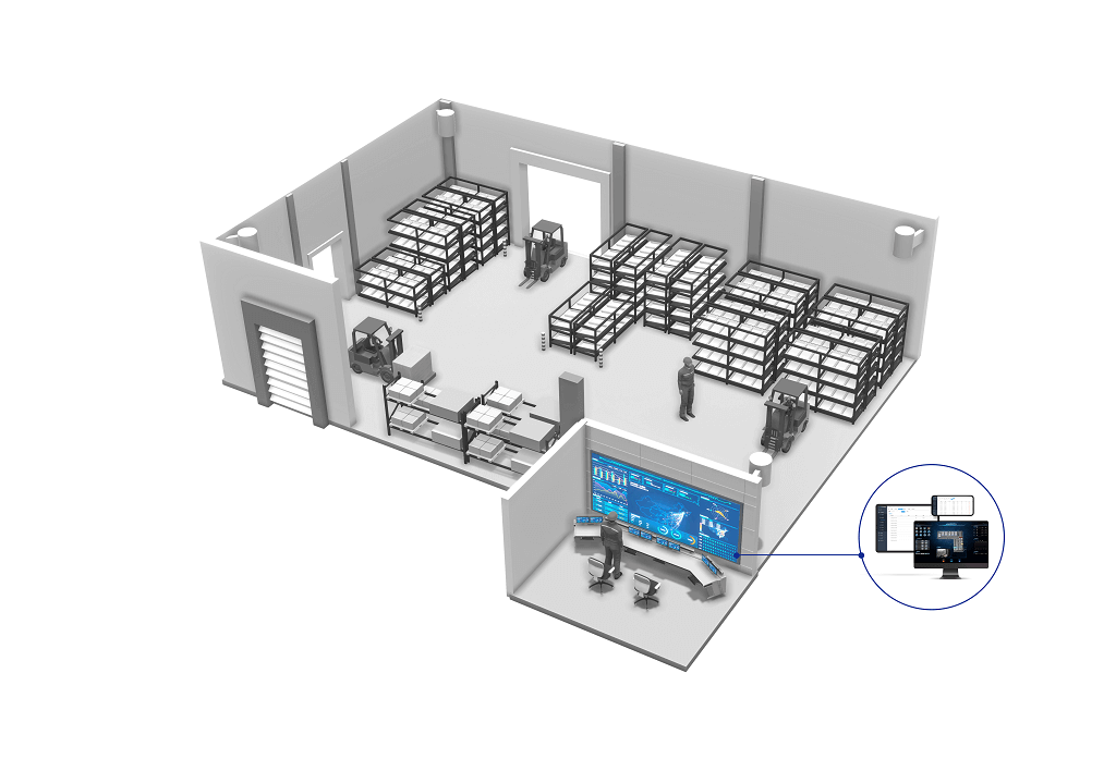
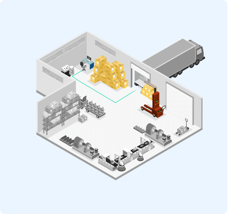
Digital Visualization to Boost Productivity
Full visibility of real-time processes means shorter time-to-value for Industry 4.0-ready projects, optimizing workflows, increasing output, and reducing costs.
Scalability to Accelerate Innovation
Enjoy seamless two-way third-party integration with our fully documented open API, allowing you to always adapt to our technology to meet your vision and needs, and unleash your creativity to build the perfect future-proof solution.
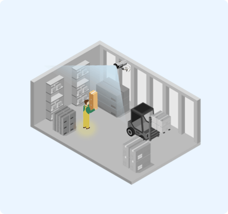
Enhanced Safety and Production Assurance
Our system helps better protect human lives and reduce safety hazards in the production process.
High Investment Return
Durable equipment reduces overall costs and delivers high-efficiency returns.
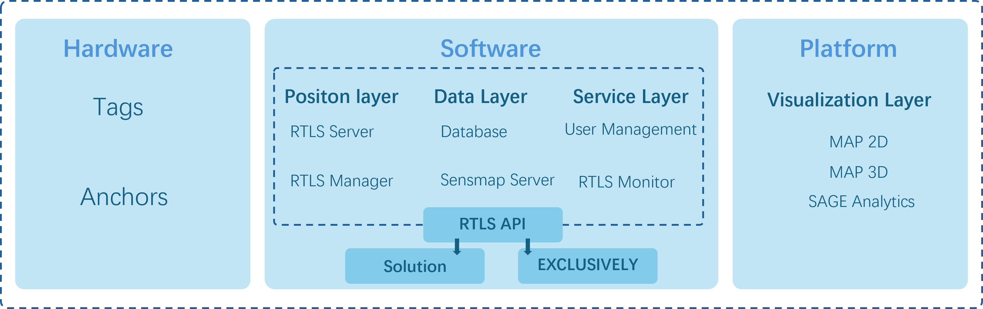
Scalability of UWB RTLS Platform Architecture
The main functional blocks of the RTLS platform are defined by the respective platform layers. At the hardware layer, data is generated and transmitted via UWB signals. The UWB signals from the hardware layer are processed by the positioning layer, which calculates and filters the data. The data layer is responsible for storing and representing location data for further visualization and analysis. At the service layer, the RTLS platform provides tools to control and optimize system performance. The visualization layer offers real-time location data and analytical information.
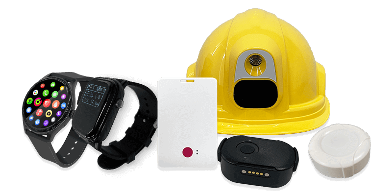
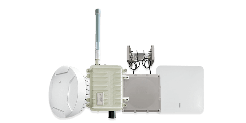
UWB RTLS Hardware
The Lenet UWB RTLS platform consists of two types of hardware: signal transmitters, known as Tags, for tracking entities; and signal receivers, known as Anchors, for receiving signals from the tags.
Tags are small electronic devices that can be attached to any object or person that needs to be tracked. As transmitters, tags send pulse signals that are received and forwarded to the positioning server by the anchors to calculate the tag's location.
Anchors are electronic devices that detect UWB pulses emitted by tags and forward these signals to the positioning server to calculate the tag's location. To establish a tracking system in an indoor area, a set of anchors must be installed above the area to form the positioning infrastructure.
UWB RTLS Tags
UWB RTLS Anchors
UWB RTLS Software
The main functional blocks of the RTLS platform are defined by the respective platform layers. At the hardware layer, data is generated and transmitted via UWB signals. The UWB signals from the hardware layer are processed by the positioning layer, which calculates and filters the data. The data layer is responsible for storing and representing location data for further visualization and analysis. At the service layer, the RTLS platform provides tools to control and optimize system performance. The visualization layer offers real-time location data and analytical information.
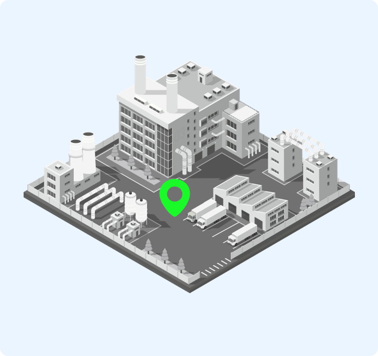
Location Mapping Service
Supports 2D/3D map modes, integrated indoor and outdoor map display, supports draggable, zoomable maps, and multi-map management, supports one-click upload of common vector files such as .tiff, .dxf, .shp, .png, .fbx.
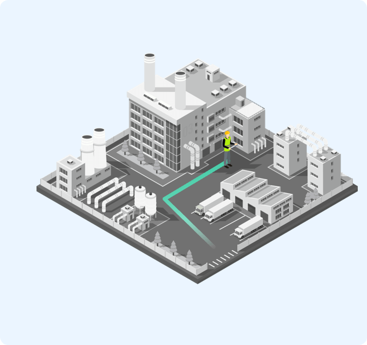
Historical Trajectory Tracking
Supports tracing of activity trajectories for any time period, supports adjustable playback speed, historical location data retention for at least one year.
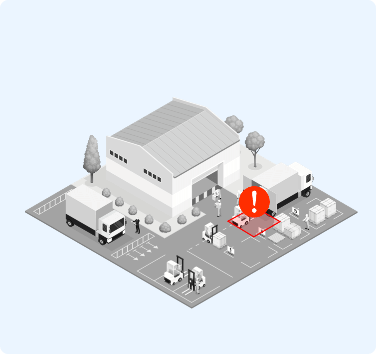
Geofencing Alerts
Flexible geofencing drawing with customizable entry/exit alert modes, supports SOS, tamper, disappearance, over-occupancy, and loitering alerts, supports multi-dimensional query and export of alert records.
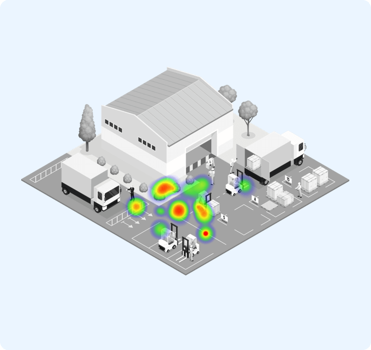
Location Heatmap Analysis
Supports full-area location heatmaps, supports statistical and real-time analysis modes, automatically generates heatmaps based on tag quantity, activity frequency, and dwell time.
Inspection and Patrol Management
Supports inspection and patrol task management, tracking of inspection trajectories, automatic generation of inspection reports, and alerts for inspection anomalies, includes records of inspection points, personnel, routes, cycles, start and end times.
Camera Linkage and Recording
Automatically and intelligently tracks targets within the software, switching cameras, multi-target multi-screen simultaneous tracking, supports plugin-free video playback in various browsers, supports the world's top five security surveillance camera brands.